SurveyingSurveying
Geophysics
Surveying
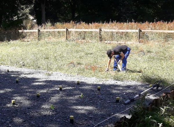
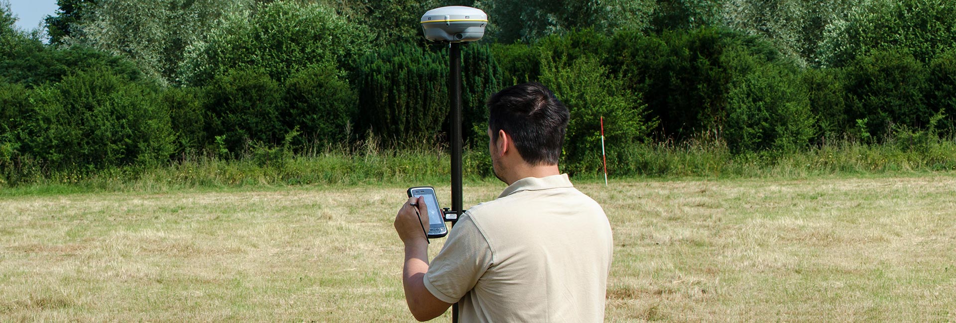
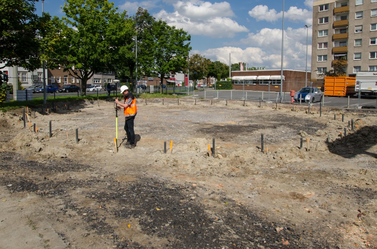
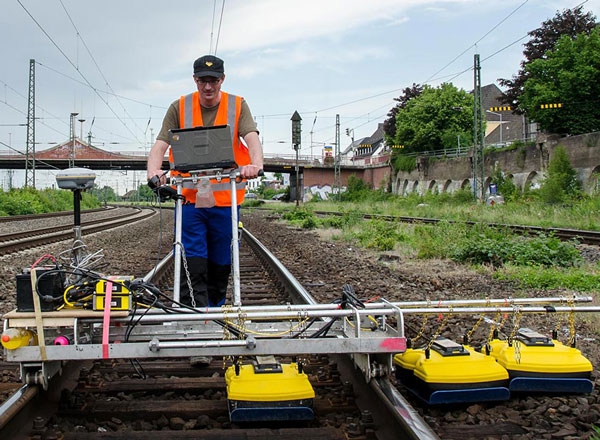
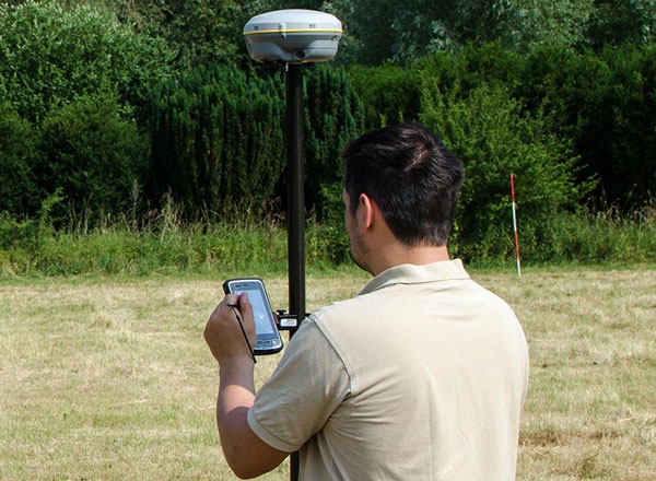
Precision and accuracy are the top priority when clearing ordnance. The TAUBER experts therefore used state-of-the-art surveying systems – from high-precision RTK GPS to millimeter-accurate tachymeters. By accurately measuring clearing areas, anomalies can be localized without ambiguity and the work can be documented as accurately as possible.
Laser scanning
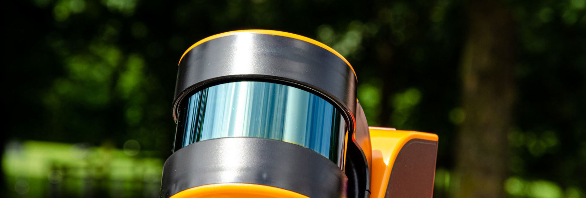
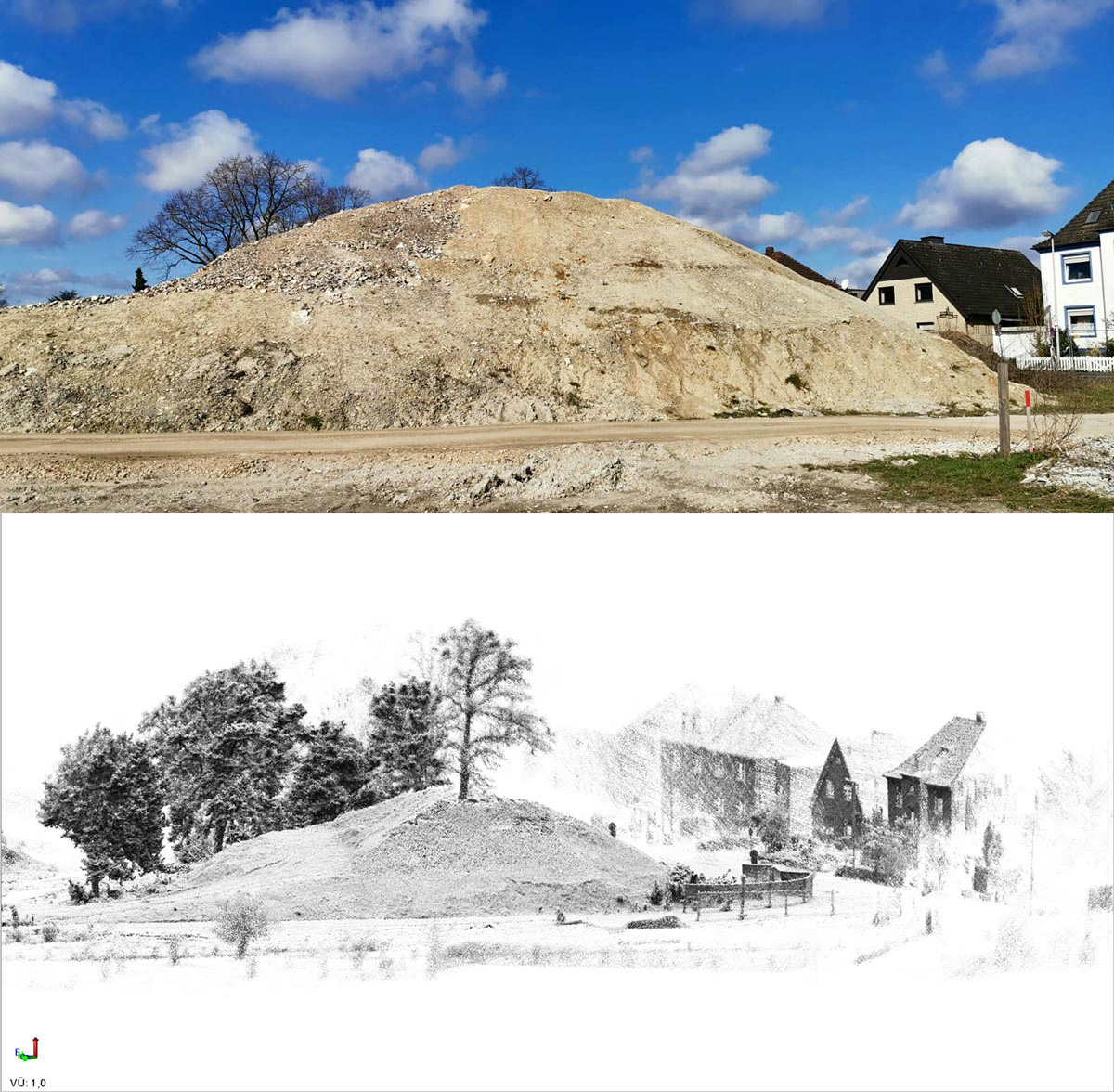
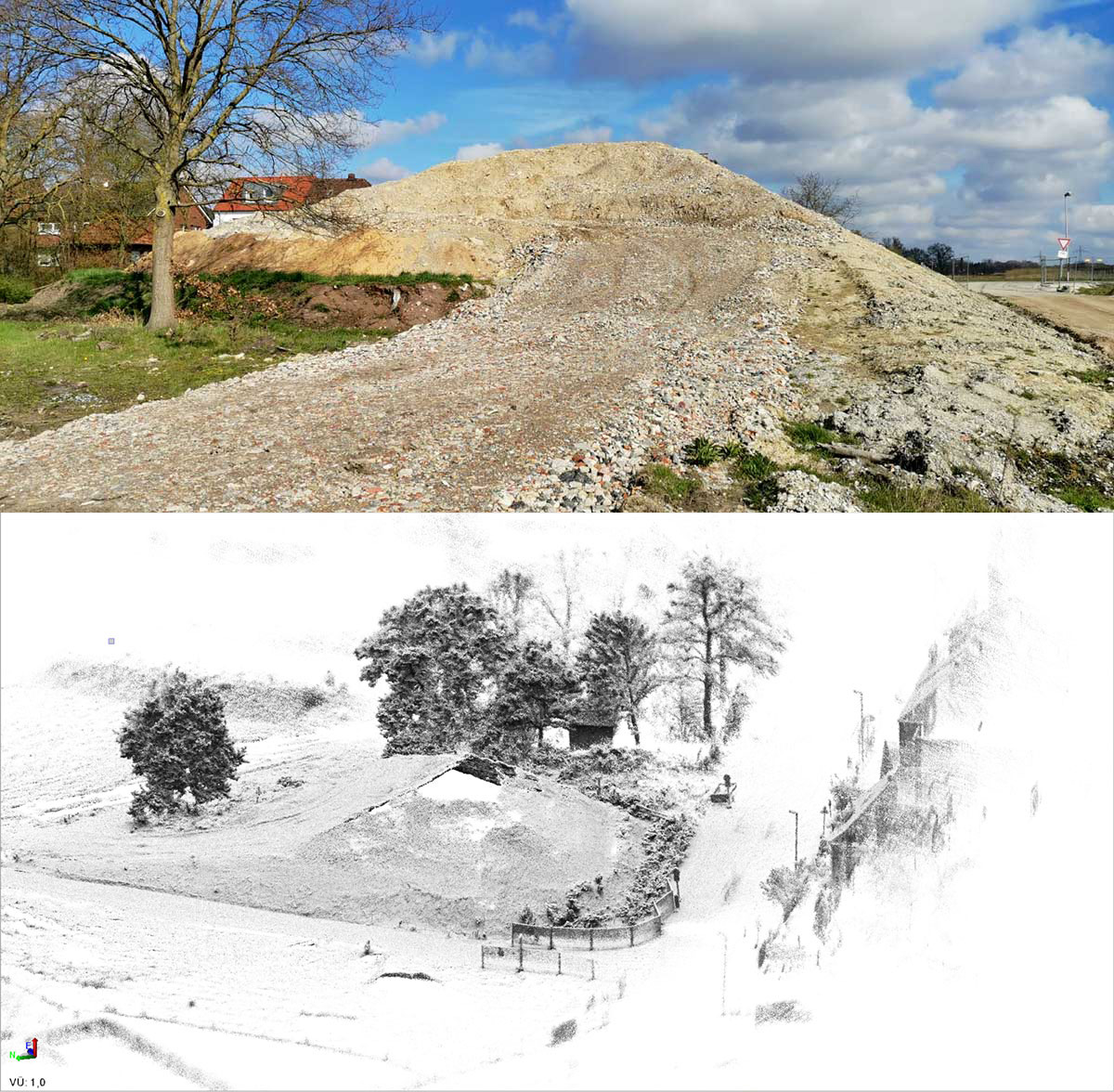
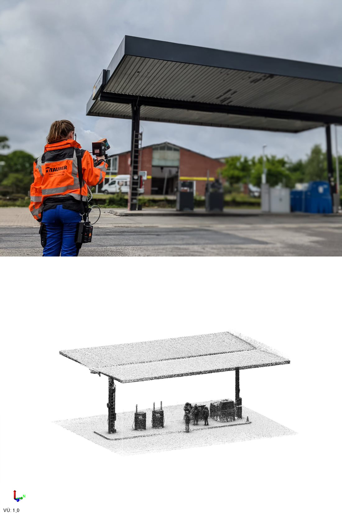
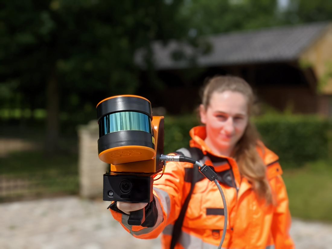
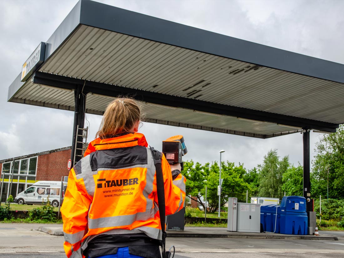
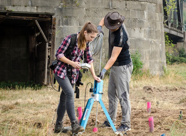
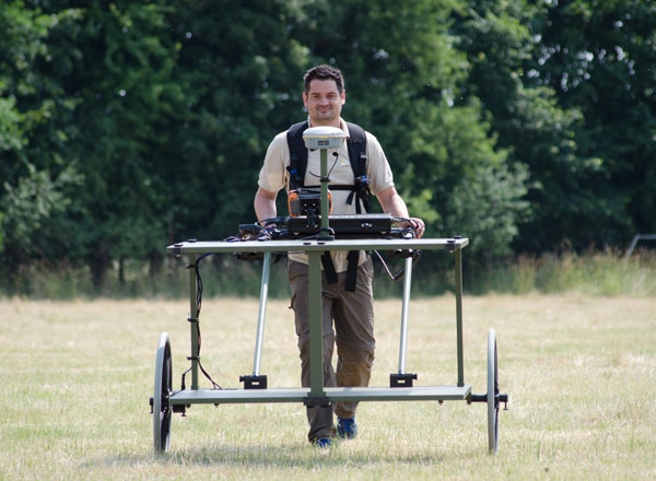
With the help of mobile laser scanners, we can also help you to accurately and quickly record clamp volumes or building floor plans. In this procedure, hundreds of thousands of points are scanned per second. Within a few minutes, an image of the environment, accurate to the centimeter, is recorded up to over 50 meters away. On the basis of these point clusters, the experts at TAUBER will draw up exact floor plans, building sections or calculate the exact volumes of your pits, heaps or clamps.
TAUBER is happy to offer you this service in surveying technology even outside of ordnance clearance.
State-of-the-art surveying
From high-precision GNSS systems to total robotic stations to mobile laser scanning – with state-of-the-art surveying systems, we always offer the best solution for a wide variety of tasks. If you have any questions regarding the use of our surveying systems outside of ordnance clearance, please contact:
TAUBER Geo-Consult GmbH
laserscan_at_tauber-systeme.de
Contact person:
Simon Gremmler
Plant Manager
simon.gremmler_at_munition.de
+49 (0) 172 14 989 69
Geophysics
Surveying